
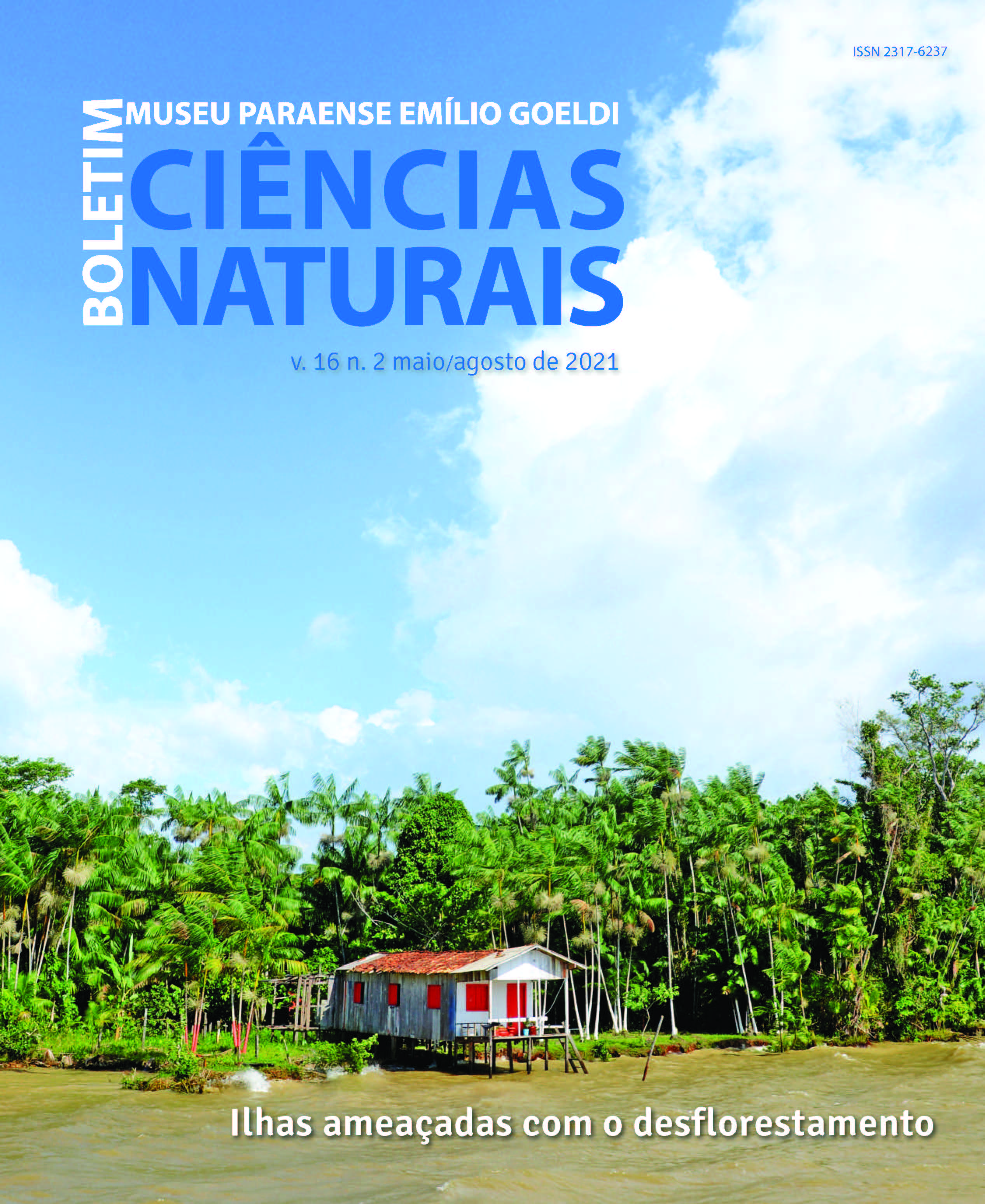
Islands threatened with deforestation: analysis of forest fragmentation on the Island of Cotijuba, Belém, Pará, Brazil
DOI:
https://doi.org/10.46357/bcnaturais.v16i2.467Keywords:
Landscape metrics, Land use, EcotourismAbstract
The island region of Belém, made up of 42 islands, is undergoing changes in its landscape that are connected mainly by anthropic action. In this scenario, forest fragmentation stands out, which is a continuous process in the Amazon region, triggered mainly by the absence of policies that guarantee environmental conservation. In this sense, the present study aims to map and analyze the forest fragmentation process of Cotijuba Island, Belém. Pará, Brazil, using consolidated methods to measure the loss of vegetation and analysis of small forest fragments, which can still serve as ecological corridors for maintaining biodiversity. Satellite image SENTINEL-2 from the year 2018 was used, applying geoprocessing and remote sensing techniques and the application of landscape metrics. The results show that approximately 50% of the island is altered, with areas of degraded, secondary forests and exposed soil. It should be noted that despite having only 42.9% preserved forest fragments and 21.24% degraded forests, the area of study has favorable conditions for the development of a management plan with actions aimed at creating ecological corridors and developing ecotourism.
Downloads
Published
Issue
Section
License
Publication means fully assigning and transferring all copyrights of the manuscript to the journal. The Liability Statement and
Assignment of Copyrights will be enclosed with the notice of acceptance. All the authors must sign the document and return it to the journal.