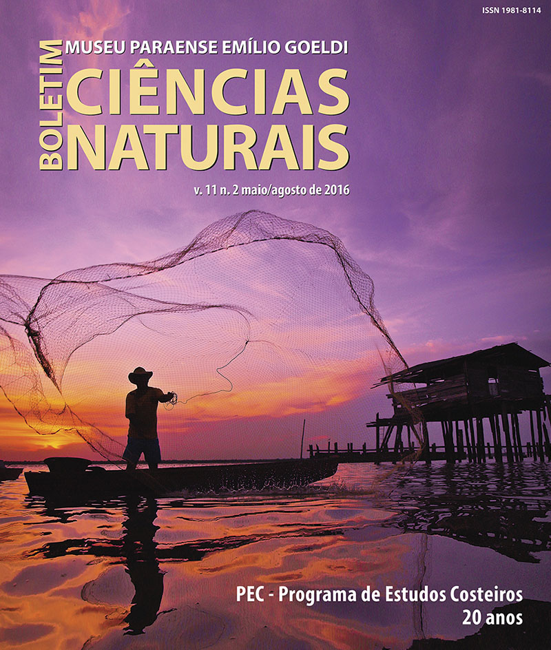
Mapping the scientific output of the Costal Studies Program (PEC) of the Museu Paraense Emílio Goeldi, Belém, Pará, Brazil, as a contribution to coastal ecosystem services
DOI:
https://doi.org/10.46357/bcnaturais.v11i2.426Keywords:
Amazon coastal zone, Museu Paraense Emílio Goeldi, GeoinformationAbstract
The Amazon coastal zone comprises an area of 9,000 km², located between the Oiapoque River in Amapá and São Marco Bay, Maranhão, Brazil. Several environments characterize the area, such as beaches, tidal plains, salty and freshwater marshes, estuaries, mangroves, lowland rainforest, tropical forests, lakes, lagoons, islands, rivers, deltas, dunes. This essay using scientific articles published from 1997 to 2015 by Museu Paraense Emílio Goeldi (MPEG) researchers tries to map the scientific output of the Coastal Studies Program (PEC) that completes 20 years of existence in 2017. The map produced from this bibliographical survey offers data on zoology, botany, geology, anthropology, archeology, ecological and multidisciplinary studies as a contribution to Marine and Coastal Ecosystems Services (MCES).
Downloads
Published
Issue
Section
License
Publication means fully assigning and transferring all copyrights of the manuscript to the journal. The Liability Statement and
Assignment of Copyrights will be enclosed with the notice of acceptance. All the authors must sign the document and return it to the journal.


